OUR SERVICES
MAP LAND SURVEYORS PTY LTD
FEATURE & SITE ANALYSIS SURVEYS
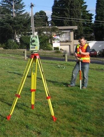
Feature Surveys measure and locate the position of existing features, buildings, levels (ridge & eave heights, floor levels, natural surface levels, contours provided) and significant vegetation accross the site.
Street features & furniture, pits, poles, kerb & channel, vehicle cross-overs, footpaths, utilities, trees and levels are also located in front and adjacent to the site.
The directly neighbouring properties are also measured and include set-backs, levels (floor, ridge and eave), overlooking habitable windows and significant trees etc.
The resultant survey plan is generally used by architects and building designers to aid in their planning applications to council for new houses, extensions and subdivisions etc.

Dependant on council and/or architects requirements, the feature survey may also require levels to be connected to the Australian Height Datum (A.H.D.) and that the property boundaries be checked via a Title Re-establishment Survey. MAP LAND SURVEYORS PTY LTD can undertake all of these services at a very competitive combined rate.
Site Analysis Surveys are generally an extension of the feature survey described above. An example of a standard Site Analysis Survey is all the measurements undertaken in the feature survey (may or may not include Title Re-establishment Survey and levels to A.H.D.) plus the location, setbacks etc. of three to five dwellings either side of the site, across the road from the site and behind the site.
